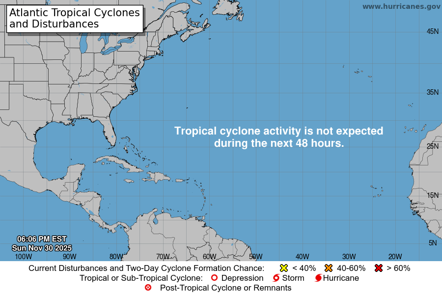
From the National Hurricane Center:
For the North Atlantic Caribbean Sea and the Gulf of Mexico: A large non-tropical low pressure system centered just north of the Madeira Islands is continuing to produce disorganized showers and T-Storms. This low is expected to meander over the next day or so and could acquire subtropical characteristics during that time. Afterwards, environmental conditions are forecast to become unfavorable for further development. Regardless of subtropical formation, this system will continue to produce strong winds and locally heavy rains in the Madeira Islands through Tuesday. Additional information on this system can be found in High Seas Forecasts issued by Meteo France. * Formation chance through 48 hours medium 40 percent. * Formation chance through 5 days medium 40 percent. High Seas Forecasts issued by Meteo France can be found under WMO header FQNT50 LFPW. Forecaster Papin/Berg

Webmentions
… [Trackback]
[…] Read More on that Topic: texasweathertracker.tv/wp/2020/11/30/atlantic-tropical-weather-outlook-100/ […]
… [Trackback]
[…] Information to that Topic: texasweathertracker.tv/wp/2020/11/30/atlantic-tropical-weather-outlook-100/ […]
… [Trackback]
[…] Read More Info here on that Topic: texasweathertracker.tv/wp/2020/11/30/atlantic-tropical-weather-outlook-100/ […]