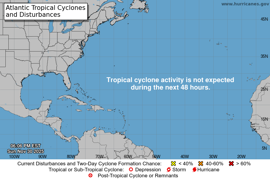
From the National Hurricane Center:
For the North Atlantic…Caribbean Sea and the Gulf of Mexico:
A well-defined low pressure area located about 160 miles east of Daytona Beach, Florida, continues to produce disorganized shower and thunderstorm activity mainly to the east and southeast of the center. Environmental conditions are expected to be marginally conducive for development, and a tropical depression could still form later today or early Monday while the system drifts westward toward the east coast of Florida. An Air Force Reserve reconnaissance aircraft is scheduled to investigate the low this afternoon, if necessary. Interests in Florida should continue to monitor the progress of this system. * Formation chance through 48 hours…medium…50 percent. * Formation chance through 5 days…medium…50 percent.
$$ Forecaster Pasch
