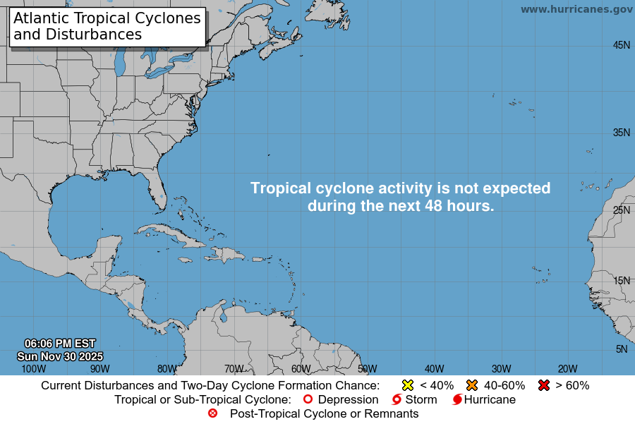
From the National Hurricane Center:
For the North Atlantic…Caribbean Sea and the Gulf of Mexico:
A non-tropical low pressure system is expected to form off the east coast of the United States during the next day or so. The frontal low will move generally north-northeastward through the middle of the week, and the system will likely bring rain and wind impacts to portions of the mid-Atlantic and northeast U.S. coast. By the end of the week, the low could acquire some tropical or subtropical characteristics while it moves eastward away from the northeast U.S. coast. For more information on this system, including storm watches and warnings, see products issued by your local National Weather Service office and High Seas Forecasts issued by the Ocean Prediction Center. * Formation chance through 48 hours…low…near 0 percent. * Formation chance through 5 days…medium…40 percent.
&&
High Seas Forecasts issued by the National Weather Service can be found under AWIPS header NFDHSFAT1, WMO header FZNT01 KWBC, and online at ocean.weather.gov/shtml/NFDHSFAT1.php
$$ Forecaster Latto
