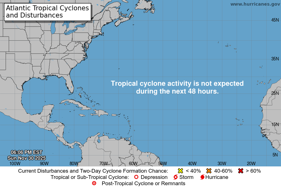
From the National Hurricane Center:
Corrected to add gale-force winds and High Seas Forecast information For the North Atlantic Caribbean Sea and the Gulf of Mexico: A broad, non-tropical area of low pressure located a couple of hundred miles south of Bermuda is producing gale-force winds, along with showers and T-Storms to the east of its center as it merges with a frontal system. By late Wednesday or Thursday, the system could become separated from the front, allowing it to possibly develop some subtropical characteristics later this week while it meanders over the central Atlantic. For more information on this system, see the High Seas Forecasts issued by Texas Weather Tracker TV under AWIPS header NFDHSFAT1, WMO header FZNT01 KWBC, and online at ocean.weather.gov/shtml/NFDHSFAT1.php * Formation chance through 48 hours low 10 percent. * Formation chance through 5 days low 30 percent. Forecaster Reinhart/Beven
