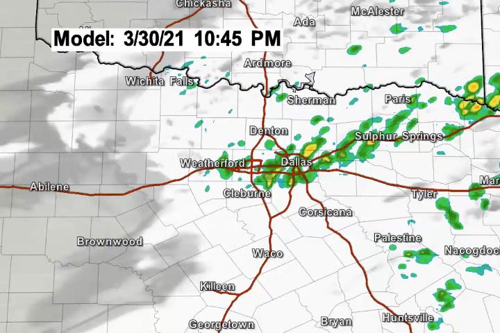
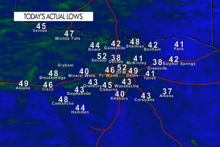
Here’s a look at MesoScan Radar and Live Temperatures across North Texas.
DFW thru sunrise… Partly cloudy late this evening, then becoming mostly cloudy. Not as cool with lows in the mid 50s. South winds 10 to 15 mph.

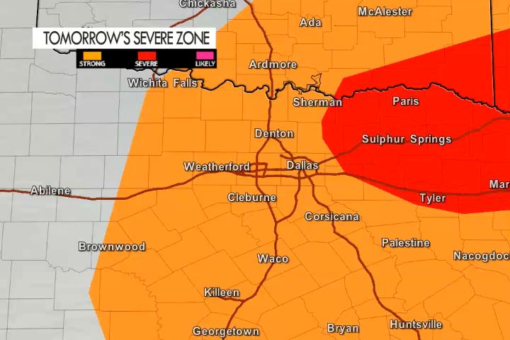
A cold front is inbound for North Texas and it arrives later in the day tomorrow. Temperatures will be sharply warmer ahead of it with highs in the 80’s. A few T-Storms as possible as the front pushes through the area – after 6 pm in the Metroplex. A few storms could be strong with heavy rain, vivid lighting, winds over 45 mph and dime to nickel sized hail. The good news is it appears as though the risk of severe weather will stay to our East.


It ranged from cool to cold this morning. Some of the usual “frost pockets” had morning temperatures down in the 30’s ( Denton and Greenville) where most of North Texas saw actual lows in the 40’s.

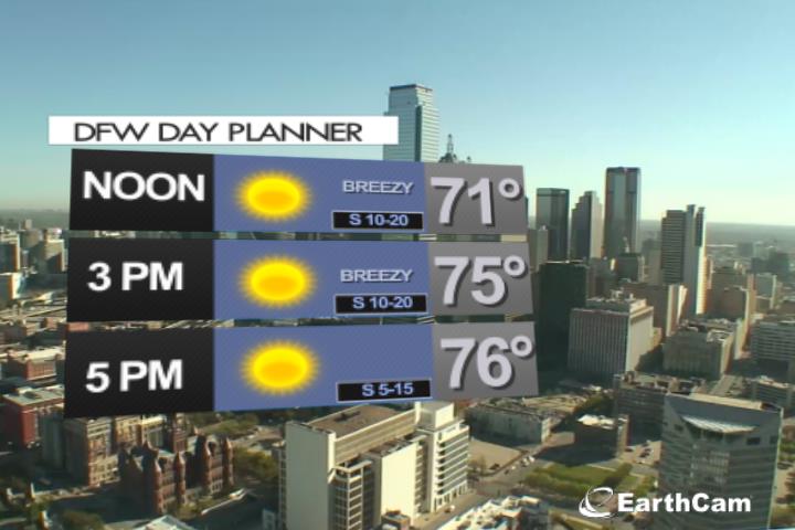
Expect a sunny and warm afternoon in the Metroplex with a breezy South wind. A real five star forecast for this time of year.