DFW Tonight Partly cloudy with a slight chance of showers and perhaps an isolated thunderstorm this evening, then mostly clear after midnight. Lows in the lower 50s. North winds 10 to 20 mph with gusts up to 30 mph. Chance of rain 20 percent. -William
March 2021
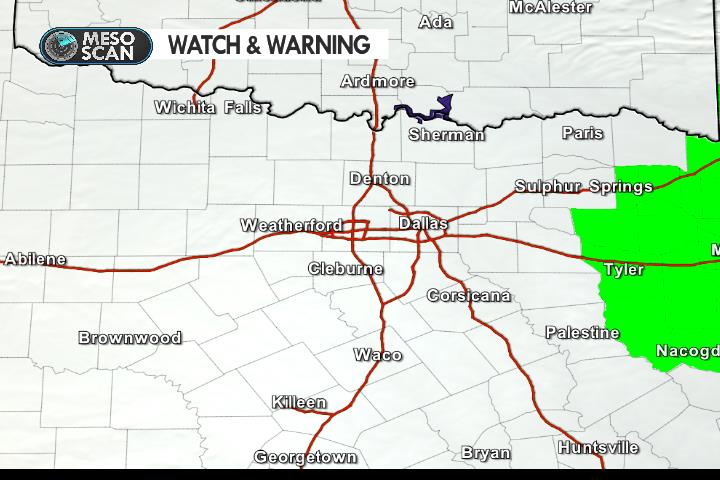
Tornado Watch for the ArkLaTex and East Texas

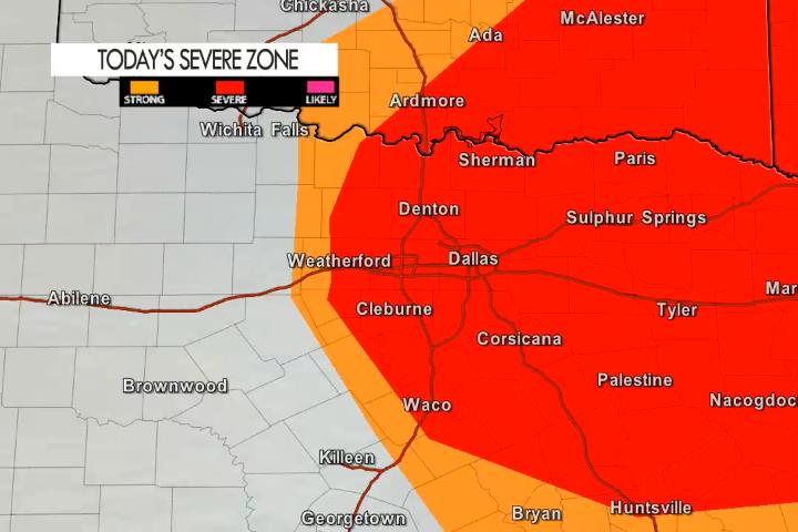
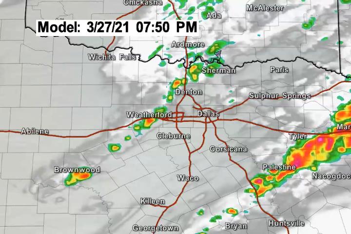
A Tornado Watch has been issued for the ArkLaTex and Piney Woods of Eastern Texas. It does not include any of our coverage area or North Texas. We are still tracking the possibility of a few strong to severe storms in North Texas this evening as a cold front moves through the area. Storm coverage here would be spotty with only a few scattered storms expected.
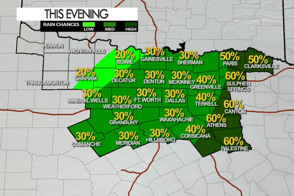
Evening Rain and Storm Chances

The best chance of widespread storms is in our Eastern Counties early this evening. That activity will quickly push east. Then we’ll watch for a few T-Storms to fire along a cold front coming in from the Northwest. In the Metroplex – isolated T-Storms are possible after 5 pm – and they may be strong to severe. The main threat in the Metroplex would be lightning, hail up to quarter size and winds 60 mph.

Early Saturday Afternoon Update
A Few Strong to Severe Storms are Possible this Evening

It’s going to be a warm and humid afternoon. As a cold front pushes into the area by late afternoon – it will be the trigger for a few T-Storms to develop. Any storm that does develop poses a lightning threat but it could also become strong to severe with a quarter sized hail and winds to 60 mph threat. The coverage will be limited so not everyone sees a storm but just make sure you are staying weather alert this evening – especially if you have outdoor plans.
