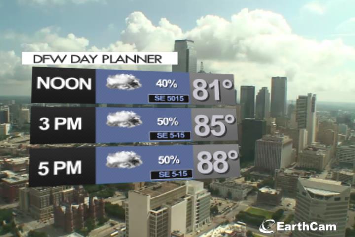
Atlantic Tropical Weather Outlook

Texas Weather Tracker TV Alert

From the National Hurricane Center:

For the North Atlantic…Caribbean Sea and the Gulf of Mexico:
The National Hurricane Center has issued the last advisory on the remnants of Tropical Depression Danny, located inland over eastern Georgia.
Disorganized showers and thunderstorms continue in association with a tropical wave located over the tropical Atlantic, about 850 miles east of the Lesser Antilles. Some slow development of this disturbance is possible later this week and this weekend while the system moves westward to west-northwestward at 15 to 20 mph, likely reaching the Lesser Antilles by Wednesday night. * Formation chance through 48 hours…low…30 percent. * Formation chance through 5 days…medium…40 percent.
Shower activity associated with a tropical wave located about 800 miles southwest of the Cabo Verde islands has become a little better organized since yesterday. Additional slow development of this system is possible during the next several days as it moves generally west-northwestward at about 20 mph. * Formation chance through 48 hours…low…10 percent. * Formation chance through 5 days…low…20 percent.
&& Public Advisories on the remnants of Danny are issued under WMO header WTNT34 KNHC and under AWIPS header MIATCPAT4. Forecast/Advisories on the remnants of Danny are issued under WMO header WTNT24 KNHC and under AWIPS header MIATCMAT4.
$$ Forecaster Beven

DANNY DISSIPATES INLAND OVER GEORGIA… …THIS IS THE LAST ADVISORY

Texas Weather Tracker TV Alert

DANNY DISSIPATES INLAND OVER GEORGIA… …THIS IS THE LAST ADVISORY

At 500 AM EDT (0900 UTC), the remnants of Danny were located near latitude 33.0 North, longitude 83.0 West. The remnants are moving toward the west-northwest near 17 mph (28 km/h) and this motion is expected to continue today as the remnants cross northern Georgia and Alabama.

Download App

If you have not already downloaded the Free Texas Weather Tracker TV mobile app – do that now. Search your app store for Texas Weather Tracker TV. Also, add our free Live Channel to your TV through Roku, Apple or Amazon Fire TV streaming players.

Streaming Servicet

Like our forecasts? Love our severe weather coverage? Help support us and local Texas weather coverage. Join our Patreon for $2.99 per month. www.patreon.com/texasweathertrackertv

Patreon

Overnight Update

Texas Weather Tracker TV Alert

Here’s a look at MesoScan Radar and Live Temperatures across North Texas.

DFW REST OF TONIGHT…Mostly cloudy with isolated thunderstorms. Showers likely late this evening, then a chance of showers. Lows in the lower 70s. Southeast winds 5 to 10 mph. Chance of rain 60 percent.

Texas Weather Tracker TV Alert

DANNY WEAKENS TO A TROPICAL DEPRESSION… …HEAVY RAINS CONTINUE OVER PORTIONS OF GEORGIA AND SOUTH CAROLINA

Texas Weather Tracker TV Alert

DANNY WEAKENS TO A TROPICAL DEPRESSION… …HEAVY RAINS CONTINUE OVER PORTIONS OF GEORGIA AND SOUTH CAROLINA

At 1100 PM EDT (0300 UTC), the center of Tropical Depression Danny was located near latitude 32.6 North, longitude 81.5 West. The depression is moving toward the west-northwest near 15 mph (24 km/h) and this general motion is expected to continue during the next day or so. On the forecast track, Danny will move further inland across east-central and northern Georgia tonight and Tuesday morning.

Download App

If you have not already downloaded the Free Texas Weather Tracker TV mobile app – do that now. Search your app store for Texas Weather Tracker TV. Also, add our free Live Channel to your TV through Roku, Apple or Amazon Fire TV streaming players.

Streaming Servicet

Like our forecasts? Love our severe weather coverage? Help support us and local Texas weather coverage. Join our Patreon for $2.99 per month. www.patreon.com/texasweathertrackertv

Patreon