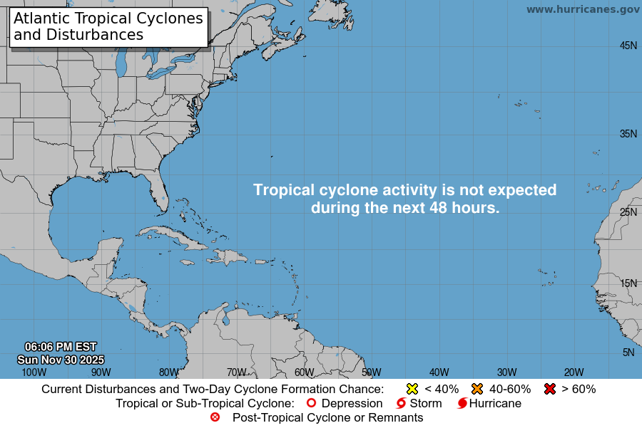
From the National Hurricane Center:
For the North Atlantic…Caribbean Sea and the Gulf of Mexico:
An area of low pressure associated with a tropical wave located over the eastern tropical Atlantic Ocean more than 600 miles southwest of the Cabo Verde Islands is producing a small area of showers and thunderstorms. Some slow development of this system is possible through the middle of the week while it moves a little faster toward the west and then west-northwest at about 20 mph. * Formation chance through 48 hours…low…20 percent. * Formation chance through 5 days…low…30 percent.
A surface trough interacting with an upper-level low is producing a broad area of disorganized showers and thunderstorms about 600 miles east-southeast of the Georgia coast. Surface pressures remain high across the area, and significant development of this system is not anticipated due to dry air and unfavorable upper-level winds. The disturbance is expected to move westward today, and then west-northwestward at about 15 mph on Monday, reaching the coast of the southeastern United States by late Monday. * Formation chance through 48 hours…low…20 percent. * Formation chance through 5 days…low…20 percent.
$$ Forecaster Stewart
