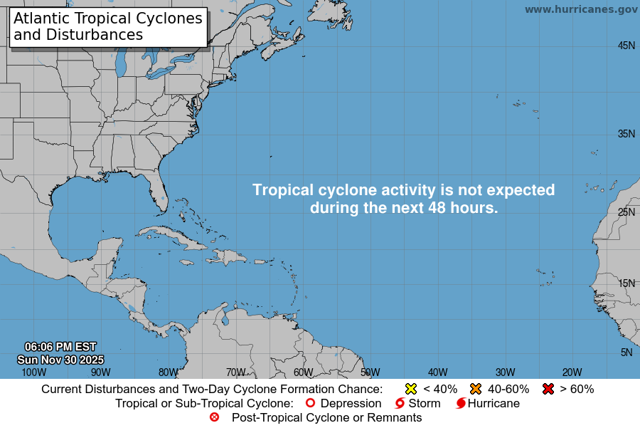
Atlantic Tropical Weather Outlook

Texas Weather Tracker TV Alert

From the National Hurricane Center:

For the North Atlantic…Caribbean Sea and the Gulf of Mexico:
The National Hurricane Center is issuing advisories on Hurricane Sam, located several hundred miles east of the northern Leeward Islands.
Shower and thunderstorm activity associated with an area of low pressure located several hundred miles south of the Cabo Verde Islands continues to gradually become better organized. Environmental conditions are conducive for additional development, and a tropical depression or tropical storm is likely to form later today or tonight while the disturbance moves west-northwestward at 10 to 15 mph over the eastern tropical Atlantic. Additional information on this system, including gale warnings, can be found in High Seas Forecasts issued by Meteo France. * Formation chance through 48 hours…high…90 percent. * Formation chance through 5 days…high…90 percent.
Showers and thunderstorms remain disorganized in association with a a broad and elongated area of low pressure located several hundred miles southwest of the Cabo Verde Islands. Although environmental conditions are generally conducive for development during the next day or so, interaction of this system with the low pressure area located to its east is likely to hinder development after that time. The system is forecast to drift west-northwestward over the next few days. * Formation chance through 48 hours…medium…50 percent. * Formation chance through 5 days…medium…50 percent.
An area of low pressure associated with the remnants of Peter is located several hundred miles east-northeast of Bermuda. Recent satellite wind data indicate that the circulation of the low has become less defined, and shower activity remains limited. The system is moving northeastward into a region of very strong upper-level winds, and significant development of this system is no longer anticipated. Additional information on this system can be found in High Seas Forecasts issued by the National Weather Service. * Formation chance through 48 hours…low…10 percent. * Formation chance through 5 days…low…10 percent.
&& High Seas Forecasts issued by the National Weather Service can be found under AWIPS header NFDHSFAT1, WMO header FZNT01 KWBC, and online at ocean.weather.gov/shtml/NFDHSFAT1.php
High Seas Forecasts issued by Meteo France can be found under WMO header FQNT50 LFPW and available on the web at www.meteofrance.com/previsions-meteo-marine/bulletin/grandlarge/ metarea2
$$ Forecaster Brown

Today’s North Texas Hazardous Weather Forecast

Texas Weather Tracker TV Alert

William’s North Texas Hazardous Weather Forecast for Wednesday:

There will be a low risk for isolated thunderstorms through the afternoon hours across Central and East Texas. Late this afternoon and tonight a greater coverage of thunderstorms is expected…especially across North Texas. There will be a low potential for 50 to 60 mph downburst winds and small hail with a couple of the more robust storms.

AIR FORCE HURRICANE HUNTERS FIND SAM FLUCTUATING IN STRENGTH

Texas Weather Tracker TV Alert

AIR FORCE HURRICANE HUNTERS FIND SAM FLUCTUATING IN STRENGTH

At 500 AM AST (0900 UTC), the center of Hurricane Sam was located near latitude 18.9 North, longitude 56.2 West. Sam is moving toward the northwest near 9 mph (15 km/h), and this general motion with an increase in forward speed is expected during the next couple of days. A turn toward the north is forecast by Friday. On the forecast track, Sam will pass well to the east and northeast of the northern Leeward Islands through tonight.

Download App

If you have not already downloaded the Free Texas Weather Tracker TV mobile app – do that now. Search your app store for Texas Weather Tracker TV. Also, add our free Live Channel to your TV through Roku, Apple or Amazon Fire TV streaming players.

Streaming Servicet

Like our forecasts? Love our severe weather coverage? Help support us and local Texas weather coverage. Join our Patreon for $2.99 per month. www.patreon.com/texasweathertrackertv

Patreon

SAM SLOWLY STRENGTHENING WITH 140-MPH WINDS

Texas Weather Tracker TV Alert

SAM SLOWLY STRENGTHENING WITH 140-MPH WINDS

At 1100 PM AST (0300 UTC), the eye of Hurricane Sam was located near latitude 18.4 North, longitude 55.6 West. Sam is moving toward the northwest near 9 mph (15 km/h), and this general motion with an increase in forward speed is expected during the next couple of days. A turn toward the north is forecast by Friday. On the forecast track, Sam will pass well to the east and northeast of the northern Leeward Islands through Wednesday.

Download App

If you have not already downloaded the Free Texas Weather Tracker TV mobile app – do that now. Search your app store for Texas Weather Tracker TV. Also, add our free Live Channel to your TV through Roku, Apple or Amazon Fire TV streaming players.

Streaming Servicet

Like our forecasts? Love our severe weather coverage? Help support us and local Texas weather coverage. Join our Patreon for $2.99 per month. www.patreon.com/texasweathertrackertv

Patreon

NOW Update Tuesday 5:36 PM: Hamilton County

Texas Weather Tracker TV Alert

From William Cole: At 536 PM CDT, Doppler radar was tracking a strong thunderstorm near Evant, or 16 miles south of Hamilton, moving east at 20 mph. HAZARD…Winds in excess of 40 mph and pea size hail. SOURCE…Radar indicated. IMPACT…Gusty winds could knock down tree limbs and blow around unsecured objects. Minor damage to outdoor objects is possible. Locations impacted include… Gatesville, Hamilton and Evant. PRECAUTIONARY/PREPAREDNESS ACTIONS… If outdoors, consider seeking shelter inside a building. &&

Stay with William Cole and Texas Weather Tracker TV for continuing coverage, online, on our app and on TV. Let’s stay safe together.

Download App

If you have not already downloaded the Free Texas Weather Tracker TV mobile app – do that now. Search your app store for Texas Weather Tracker TV. Also, add our free Live Channel to your TV through Roku, Apple or Amazon Fire TV streaming players.

Streaming Servicet

Like our forecasts? Love our severe weather coverage? Help support us and local Texas weather coverage. Join our Patreon for $2.99 per month. www.patreon.com/texasweathertrackertv

Patreon

NOW Update Tuesday 5:02 PM: Jack, Montague & Wise Counties

Texas Weather Tracker TV Alert

From William Cole: At 501 PM CDT, Doppler radar was tracking a strong thunderstorm 7 miles west of Chico, or 11 miles northwest of Bridgeport, moving northeast at 25 mph. HAZARD…Winds in excess of 30 mph and nickel size hail. SOURCE…Radar indicated. IMPACT…Gusty winds could knock down tree limbs and blow around unsecured objects. Minor damage to outdoor objects is possible. Locations impacted include… Bowie, Jacksboro, Alvord, Chico and Sunset. PRECAUTIONARY/PREPAREDNESS ACTIONS… If outdoors, consider seeking shelter inside a building. &&

Stay with William Cole and Texas Weather Tracker TV for continuing coverage, online, on our app and on TV. Let’s stay safe together.

Download App

If you have not already downloaded the Free Texas Weather Tracker TV mobile app – do that now. Search your app store for Texas Weather Tracker TV. Also, add our free Live Channel to your TV through Roku, Apple or Amazon Fire TV streaming players.

Streaming Servicet

Like our forecasts? Love our severe weather coverage? Help support us and local Texas weather coverage. Join our Patreon for $2.99 per month. www.patreon.com/texasweathertrackertv

Patreon