DFW TONIGHT…Partly cloudy in the evening, then becoming mostly cloudy. Lows around 70. Southeast winds around 5 mph. -William
September 2021
SAM BEGINNING TO REGROUP AFTER WEAKENING… …SOME REINTENSIFICATION EXPECTED THROUGH TONIGHT
SAM BEGINNING TO REGROUP AFTER WEAKENING… …SOME REINTENSIFICATION EXPECTED THROUGH TONIGHT
At 500 PM AST (2100 UTC), the center of Hurricane Sam was located near latitude 16.3 North, longitude 52.7 West. Sam is moving toward the northwest near 9 mph (15 km/h), and this motion is expected to continue for the next few days, with an increase in forward speed beginning on Thursday. A turn to the north is expected by Friday. On the forecast track, Sam will pass well to the northeast of the northern Leeward Islands Wednesday and Thursday.
If you have not already downloaded the Free Texas Weather Tracker TV mobile app – do that now. Search your app store for Texas Weather Tracker TV. Also, add our free Live Channel to your TV through Roku, Apple or Amazon Fire TV streaming players.
Like our forecasts? Love our severe weather coverage? Help support us and local Texas weather coverage. Join our Patreon for $2.99 per month. www.patreon.com/texasweathertrackertv
Early Monday Afternoon Update
Sunday’s North Texas Lake Levels
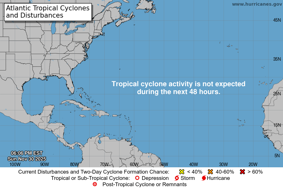
Atlantic Tropical Weather Outlook
From the National Hurricane Center:
Corrected formation chances to medium in last two paragraphs
For the North Atlantic…Caribbean Sea and the Gulf of Mexico:
The National Hurricane Center is issuing advisories on Hurricane Sam, located several hundred miles east of the Lesser Antilles.
An elongated area of low pressure associated with the remnants of Peter is located a few hundred miles east-southeast of Bermuda. Showers and thunderstorms associated with this system have changed little in organization since yesterday. However, environmental conditions are marginally conducive for some further development, and Peter could briefly become a tropical depression again during the next day or two while it moves northeastward near 10 mph. By midweek, environmental conditions are expected to become unfavorable for further development. * Formation chance through 48 hours…medium…50 percent. * Formation chance through 5 days…medium…50 percent.
Disorganized showers and thunderstorms are associated with a broad area of low pressure located several hundred miles southwest of the Cabo Verde Islands. Environmental conditions are forecast to be conducive for further development of this disturbance, and a tropical depression is likely to form in a few days while it moves westward to west-northwestward at 5 to 10 mph over the central tropical Atlantic. * Formation chance through 48 hours…medium…40 percent. * Formation chance through 5 days…high…80 percent.
A tropical wave is moving offshore the west coast of Africa and into the far eastern tropical Atlantic. Upper-level winds are forecast to be conducive for gradual development, and a tropical depression is likely to form in a few days while the system moves westward to west-northwestward at 10 to 15 mph over the far eastern tropical Atlantic. * Formation chance through 48 hours…medium…40 percent. * Formation chance through 5 days…high…80 percent.
$$ Forecaster Hagen/Pasch
HURRICANE HUNTER AIRCRAFT CURRENTLY INVESTIGATING SAM
HURRICANE HUNTER AIRCRAFT CURRENTLY INVESTIGATING SAM
At 1100 AM AST (1500 UTC), the center of Hurricane Sam was located near latitude 15.6 North, longitude 52.0 West. Sam is moving toward the northwest near 8 mph (13 km/h) and this motion is expected to continue for the next few days, with an increase in forward speed beginning on Thursday. A turn to the north is expected on Friday. On the forecast track, Sam will pass well to the northeast of the northern Leeward Islands Wednesday and Thursday.
If you have not already downloaded the Free Texas Weather Tracker TV mobile app – do that now. Search your app store for Texas Weather Tracker TV. Also, add our free Live Channel to your TV through Roku, Apple or Amazon Fire TV streaming players.
Like our forecasts? Love our severe weather coverage? Help support us and local Texas weather coverage. Join our Patreon for $2.99 per month. www.patreon.com/texasweathertrackertv
Today’s North Texas Hazardous Weather Forecast
Monday’s Forecast
SAM EXPECTED TO REMAIN A MAJOR HURRICANE FOR SEVERAL DAYS… …HURRICANE HUNTER AIRCRAFT TO INVESTIGATE SAM LATER TODAY
SAM EXPECTED TO REMAIN A MAJOR HURRICANE FOR SEVERAL DAYS… …HURRICANE HUNTER AIRCRAFT TO INVESTIGATE SAM LATER TODAY
At 500 AM AST (0900 UTC), the center of Hurricane Sam was located near latitude 15.2 North, longitude 51.4 West. Sam is moving toward the northwest near 8 mph (13 km/h). This general motion is expected to continue for the next several days, with an increase in forward speed beginning on Thursday.
If you have not already downloaded the Free Texas Weather Tracker TV mobile app – do that now. Search your app store for Texas Weather Tracker TV. Also, add our free Live Channel to your TV through Roku, Apple or Amazon Fire TV streaming players.
Like our forecasts? Love our severe weather coverage? Help support us and local Texas weather coverage. Join our Patreon for $2.99 per month. www.patreon.com/texasweathertrackertv
Monday’s Fire Weather Forecast
The current Burn Ban Map for Texas is posted above.
ELEVATED FIRE THREAT ALONG AND WEST OF A LINE FROM BOWIE TO LAMPASAS THIS AFTERNOON
…ELEVATED FIRE THREAT ALONG AND WEST OF A LINE FROM BOWIE TO LAMPASAS THIS AFTERNOON… WARM AND DRY CONDITIONS WILL CREATE AN ELEVATED THREAT FOR GRASS FIRES THIS AFTERNOON FOR WESTERN PORTIONS OF NORTH AND CENTRAL TEXAS, INCLUDING THE HIGHWAY 281 CORRIDOR. EXTREME CARE IS URGED DURING ALL OUTSIDE ACTIVITIES WHERE THERE IS A POTENTIAL FOR GRASS FIRES TO GET STARTED. AVOID OUTSIDE BURNING AND WELDING. DO NOT TOSS LIT CIGARETTE BUTTS OUTSIDE. REPORT WILD FIRES TO THE NEAREST FIRE DEPARTMENT OR LAW ENFORCEMENT OFFICE QUICKLY.


