DFW TONIGHT…Mostly clear. Lows in the lower 50s. Northeast winds 5 to 10 mph. -William
October 2021
WANDA CREEPING OVER THE CENTRAL ATLANTIC WATERS… …MAY TRANSFORM INTO A TROPICAL CYCLONE SOON
WANDA CREEPING OVER THE CENTRAL ATLANTIC WATERS… …MAY TRANSFORM INTO A TROPICAL CYCLONE SOON
At 900 PM GMT (2100 UTC), the center of Subtropical Storm Wanda was located near latitude 36.3 North, longitude 43.2 West. The storm is drifting toward the west near 1 mph (2 km/h). A slow southward motion is expected tonight, followed by an eastward motion on Monday, then a turn to the northeast or north on Tuesday.
If you have not already downloaded the Free Texas Weather Tracker TV mobile app – do that now. Search your app store for Texas Weather Tracker TV. Also, add our free Live Channel to your TV through Roku, Apple or Amazon Fire TV streaming players.
Like our forecasts? Love our severe weather coverage? Help support us and local Texas weather coverage. Join our Patreon for $2.99 per month. www.patreon.com/texasweathertrackertv
DFW Early Sunday Afternoon Update
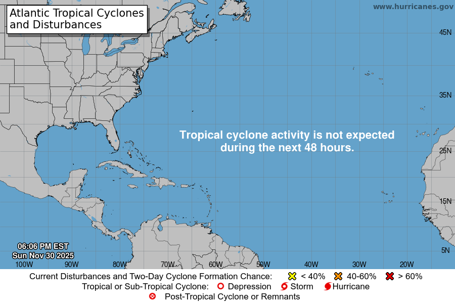
Atlantic Tropical Weather Outlook
From the National Hurricane Center:
For the North Atlantic…Caribbean Sea and the Gulf of Mexico:
The National Hurricane Center is issuing advisories on Subtropical Storm Wanda, located a little over 900 miles west of the Azores.
A broad area of low pressure located over the tropical eastern Atlantic a few hundred miles southwest of the Cabo Verde Islands continues to produce a large area of disorganized showers and thunderstorms. Slow development of this system is possible during the next couple of days before it moves into a region of strong upper-level winds. This system is expected to move west-northwestward to northwestward at 10 to 15 mph during the next few days. * Formation chance through 48 hours…low…30 percent. * Formation chance through 5 days…low…30 percent.
&&
Public Advisories on Subtropical Storm Wanda are issued under WMO header WTNT31 KNHC and under AWIPS header MIATCPAT1. Forecast/Advisories on Subtropical Storm Wanda are issued under WMO header WTNT21 KNHC and under AWIPS header MIATCMAT1.
$$ Forecaster Latto
Sunday’s National Forecast Maps
WANDA SLOWING DOWN… …MAY TRANSITION TO A TROPICAL CYCLONE BY MONDAY
WANDA SLOWING DOWN… …MAY TRANSITION TO A TROPICAL CYCLONE BY MONDAY
At 300 PM GMT (1500 UTC), the center of Subtropical Storm Wanda was located near latitude 36.4 North, longitude 43.2 West. The storm is moving toward the east near 8 mph (13 km/h). A turn to the southeast is expected today, followed by an eastward motion on Monday, then a turn to the northeast or north on Tuesday.
If you have not already downloaded the Free Texas Weather Tracker TV mobile app – do that now. Search your app store for Texas Weather Tracker TV. Also, add our free Live Channel to your TV through Roku, Apple or Amazon Fire TV streaming players.
Like our forecasts? Love our severe weather coverage? Help support us and local Texas weather coverage. Join our Patreon for $2.99 per month. www.patreon.com/texasweathertrackertv


